Tuesday, January 28, 2025
Year : 2, Issue: 22/strong>
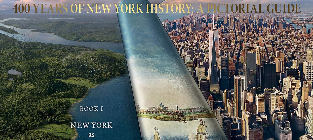
Spectrum News NY1: The world is very familiar with Wall Street, but what about the actual wall that was there first? It was a fence made of horizontal planks built in the 17th century, mainly to protect Dutch settlers against attack from the British.
There’s a chance to see it on a 3D map from the New Amsterdam History Center’s “Mapping Early New York” project.
The map, based on a famous 1660 map of New Amsterdam called the Castello Plan, is part of an exhibition at the city’s Department of Records and Information Services headquarters called “New Visions of Old New York.”
It’s all part of “Founded By NYC,” the city’s yearlong commemoration of the founding of the Dutch settlement in 1625. New Amsterdam had a diverse population, just like present-day New York City. “There were Quakers, there were Jews, there were Muslims, there were Protestants. Everyone was here. In addition, we have documents that show the role of women, show the role of enslaved people and indigenous people, which all contributed to making New York what it is today,” said Pauline Toole, commissioner of the Department of Records and Information Services. The exhibit features documents from the Municipal Archives, which has items dating back to 1636. That includes a map showing the transfer of land to formerly enslaved people in an area that is today modern day Greenwich Village.
There are also Native American markings on land conveyances. The 3D model is made with help from many documents, 17th century Dutch paintings, AI and of course, the Castello Plan.
“It was created by a surveyor, Jacques Cortelyou, and so the drawing itself is very accurate in terms of space and location,” said Toya Dubin, project manager at the New Amsterdam History Center, which has been around for nearly 20 years.
For three and a half years, Eduard van Dijk, of the Netherlands, has been working with the center on the 3D model and map. “The camera [moves] through the model, and where the camera stops would be the main point of interest, so we made sure that the buildings you see in those views are highly detailed, and buildings on the outskirts of the city are a bit less detailed,” van Dijk said.
The exhibition will be on display at 31 Chambers St. through the end of the year. For a deeper dive into the map and the people who lived, worked and traded in New Amsterdam, visit the New Amsterdam History Center’s website.